clark fork drift yard
Amenities
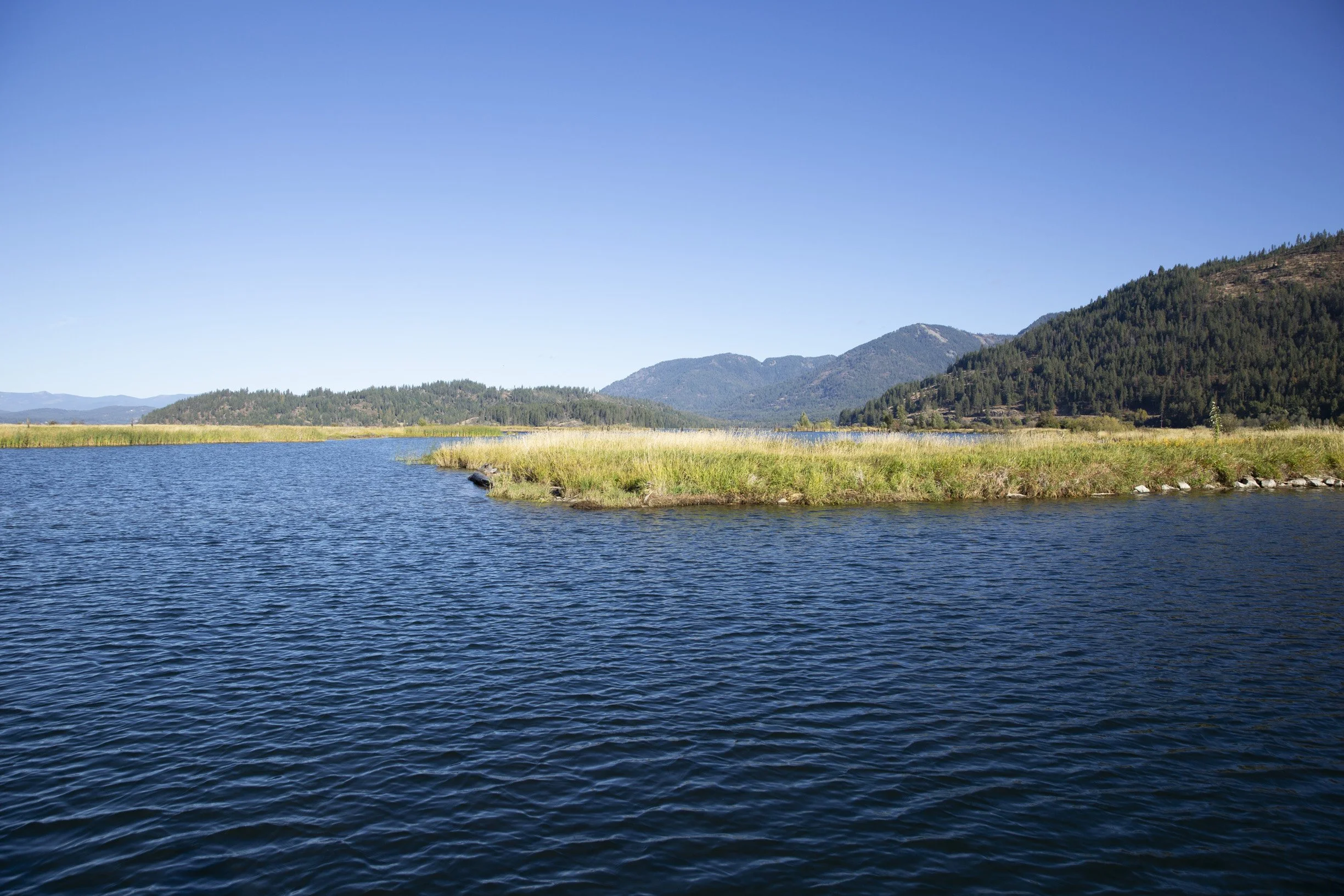
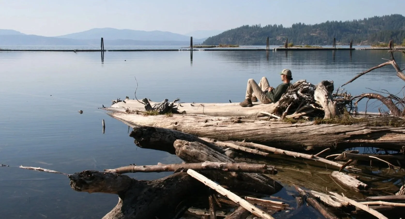
Narrow turn along floating logs; closed during nesting season. Dock, boat ramp; a great put-in to explore the channels of the Clark Fork Delta. Parking, toilet, swimming. Camping and overnight parking are popular, and have a three-day limit.
History
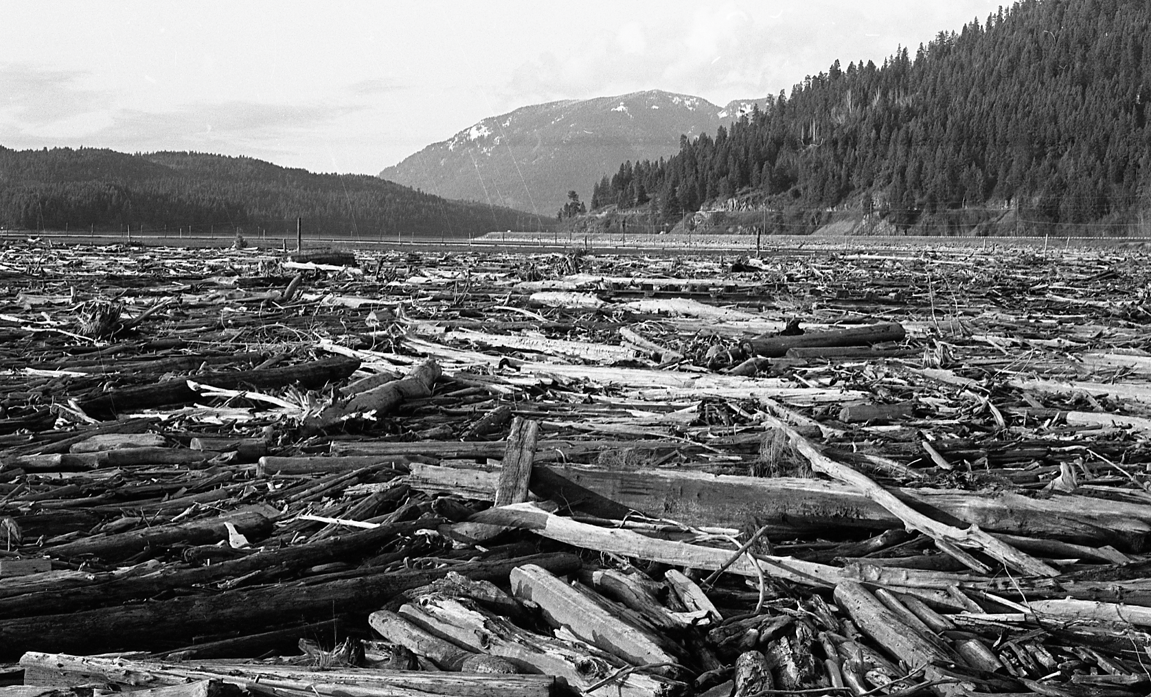
The Clark Fork River, named after William Clark of the Lewis and Clark Expedition, flows across 420 miles of Montana and Idaho. Where the Clark Fork meets Lake Pend Oreille, a series of passive systems now directs woody debris into holding areas, from small sticks to large logs. This keeps Lake Pend Oreille and the lower Clark Fork River safe for navigation. The driftyard was needed after dams were constructed downstream in the 1950s, and is maintained by the Army Corps of Engineers.
In earlier days, it was not uncommon for logs from this area to be used for commercial purposes. Historically, loggers in the Cabinet Mountain range would float their logs down the Clark Fork.
The Clark Fork river delta was once dotted with early camps and homesteads, and during log drives down the Clark Fork River in the early 1900s, log sorting booms located on the north channel were used to separate the logs for mills around the lake. The old-growth forests of the time produced such high-quality, massive logs, a secondary local market sprung up decades later re-sawing and re-selling salvaged timbers from projects constructed with old growth.
Prior to the dams of the 1950s, which raised the water levels in the area, the Clark Fork delta was also home to Indian Meadows, the site of an annual gathering of native tribes. These meetings had stopped for sure by 1950, but took place in some form into the 1920s.
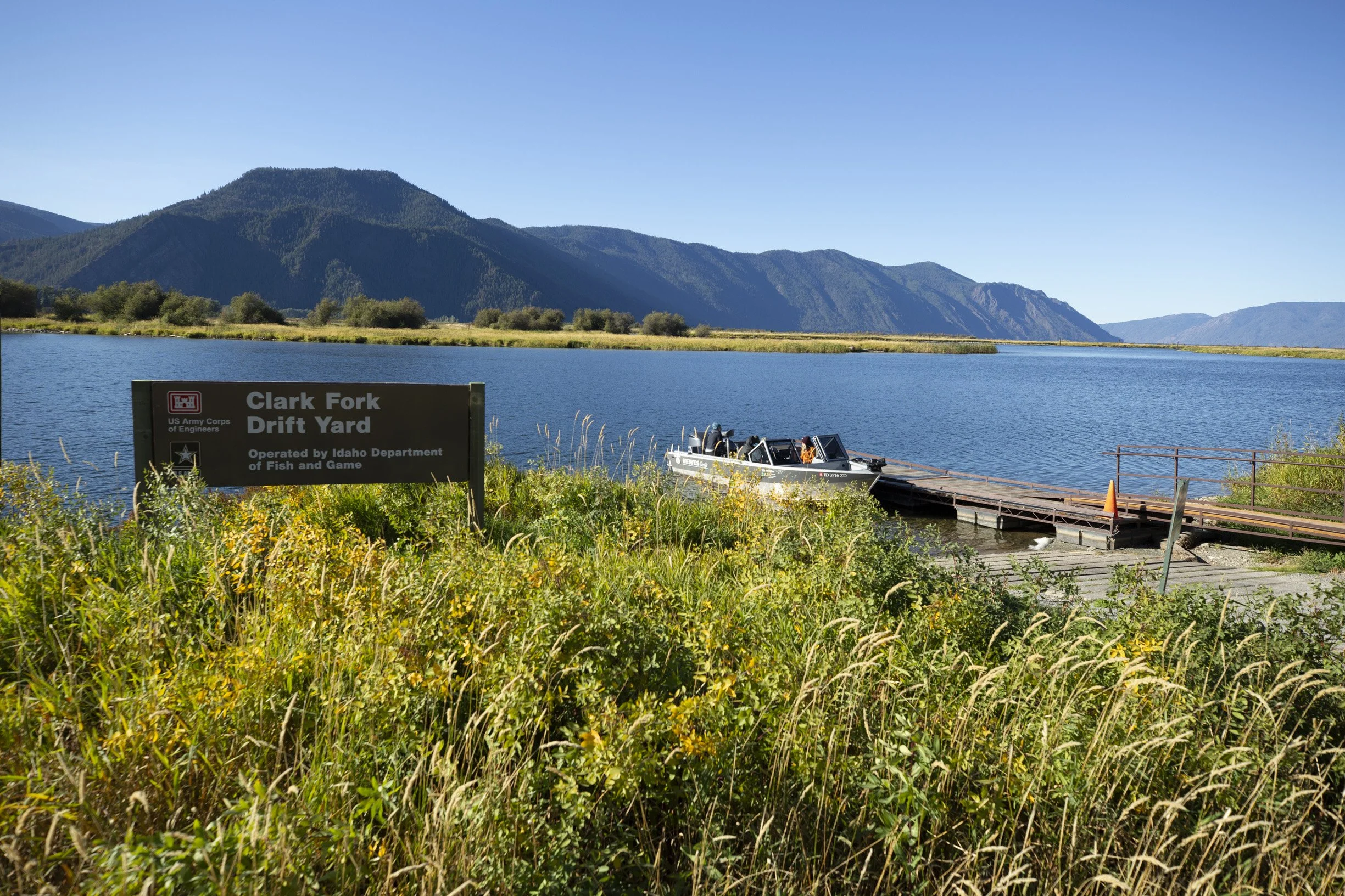
The Clark Fork Drift Yard offers convenient boat access to the Clark Fork Delta, a vast wetland ecosystem at the eastern end of Lake Pend Oreille known for its exceptional wildlife habitat, birdwatching, and paddling opportunities.