
Pack River Delta Kayak Launch
Amenities
Boat launch with parking.
History
The underlying geology in the Pack River watershed is largely granite-based, meaning that it decomposes into fine particles. During the last ice age about 15,000 years ago, glaciers in the Pack River valley formed ice dams upstream. Fine sandy sediments deposited in the water dammed by the ice, and today this sand still appears on nearby mountainside slopes, forming very erosive soils.
Because of the high potential for sediment delivery to the Pack River, land use practices such as road building, timber harvesting, grazing, agriculture, and residential development must be carefully managed in the surrounding areas to protect the Pack River flats. Any loss of riparian vegetation and associated root masses can result in the streams and river getting clogged with sediment, which can have a variety of negative effects on the animals and people downstream.
The Pack River watershed is home to Bull trout, a threatened native species. These trout hatch in the upper river, and migrate the length of the river to grow upwards of 30 inches in Lake Pend Oreille before returning as adults to spawn again in the upper river. The Pack River Flats is home to a variety of other wildlife as well. Canadian geese nest on the platforms in the marsh. Geese, swans, and ducks congregate here in spring and fall during their migration. This area also provides public access to wildlife viewing, hunting, and fishing. Before completion of Albeni Falls Dam on the Pend Oreille River in 1952, the lake level dropped after the spring runoff. Pack River Flats was a natural meadow then, and archaeological evidence suggests that it was historically an important site for local tribes.
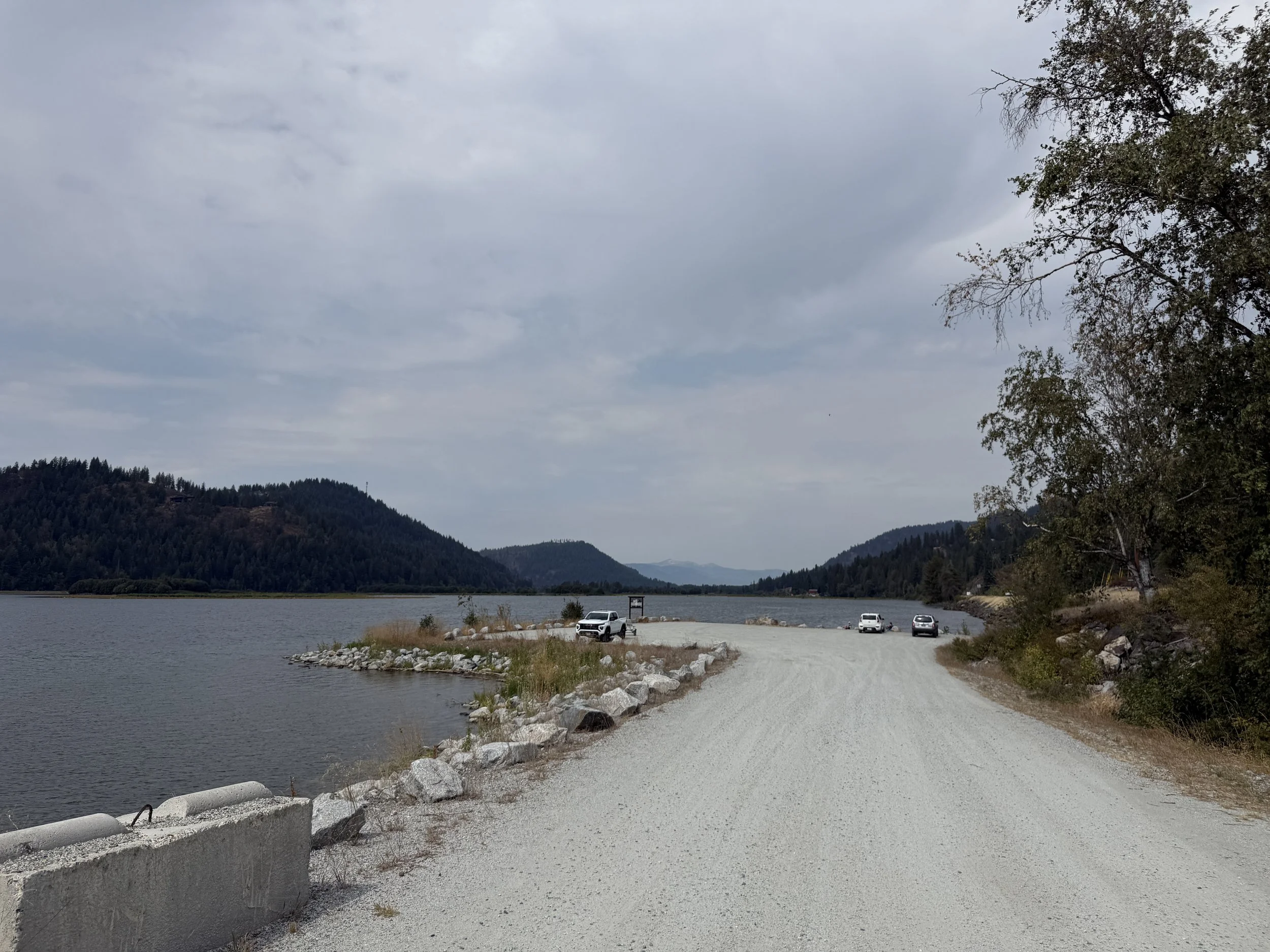
Pack River Delta — Kayak Launch: Designated launch area for kayaks and paddleboards at the Pack River Delta, with ample parking and direct access to the water. While the highway offers several pullouts with water access, this site is particularly well suited for launching small, non-motorized watercraft.
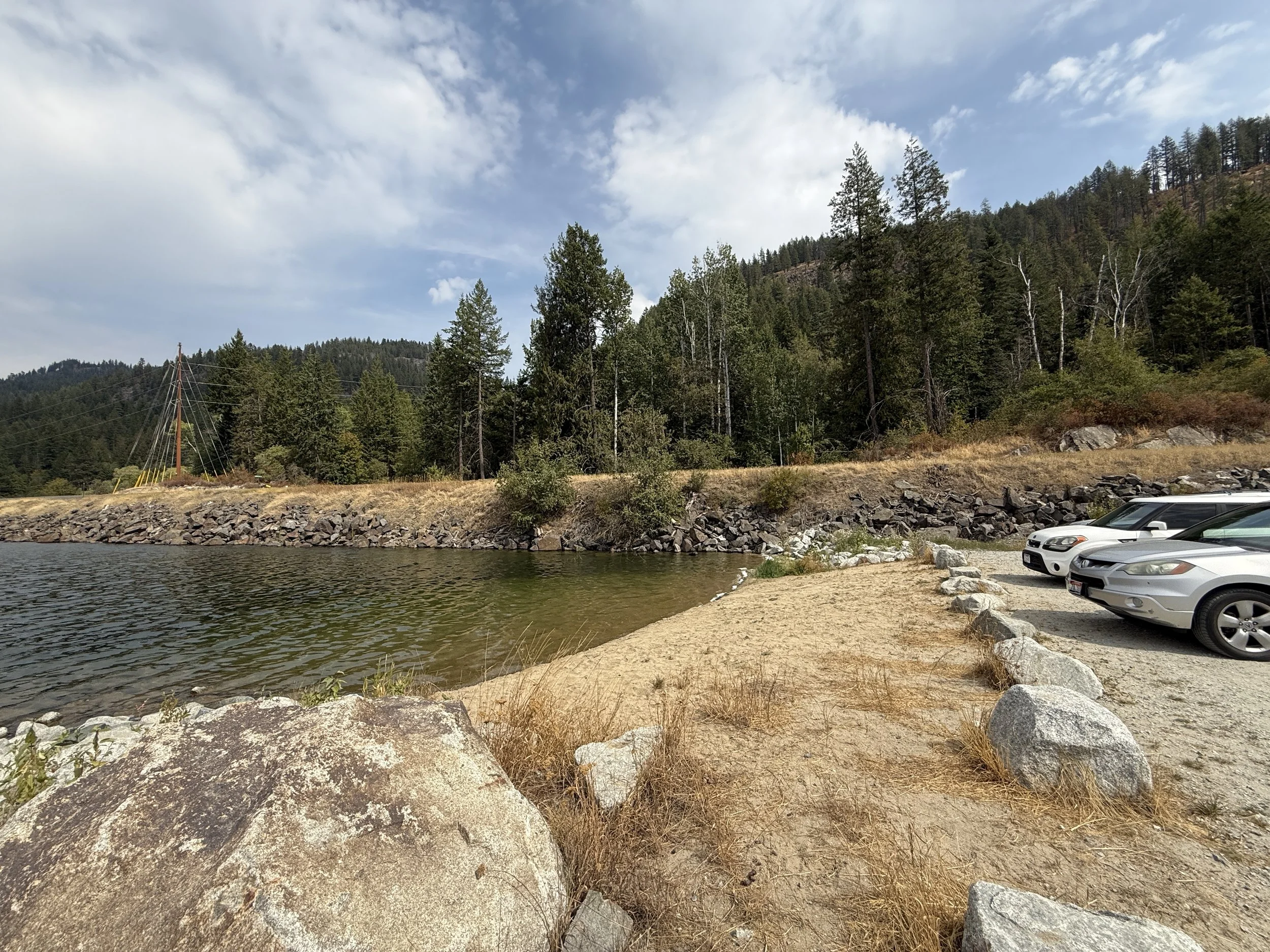
Pack River Delta — Beach & Launch Area: Small beach area near the parking area, offering an easy spot to launch paddlecraft or enjoy a quick dip in the lake.
Get directions:
Additional Information