
Johnson Creek: Lee’s point
Amenities
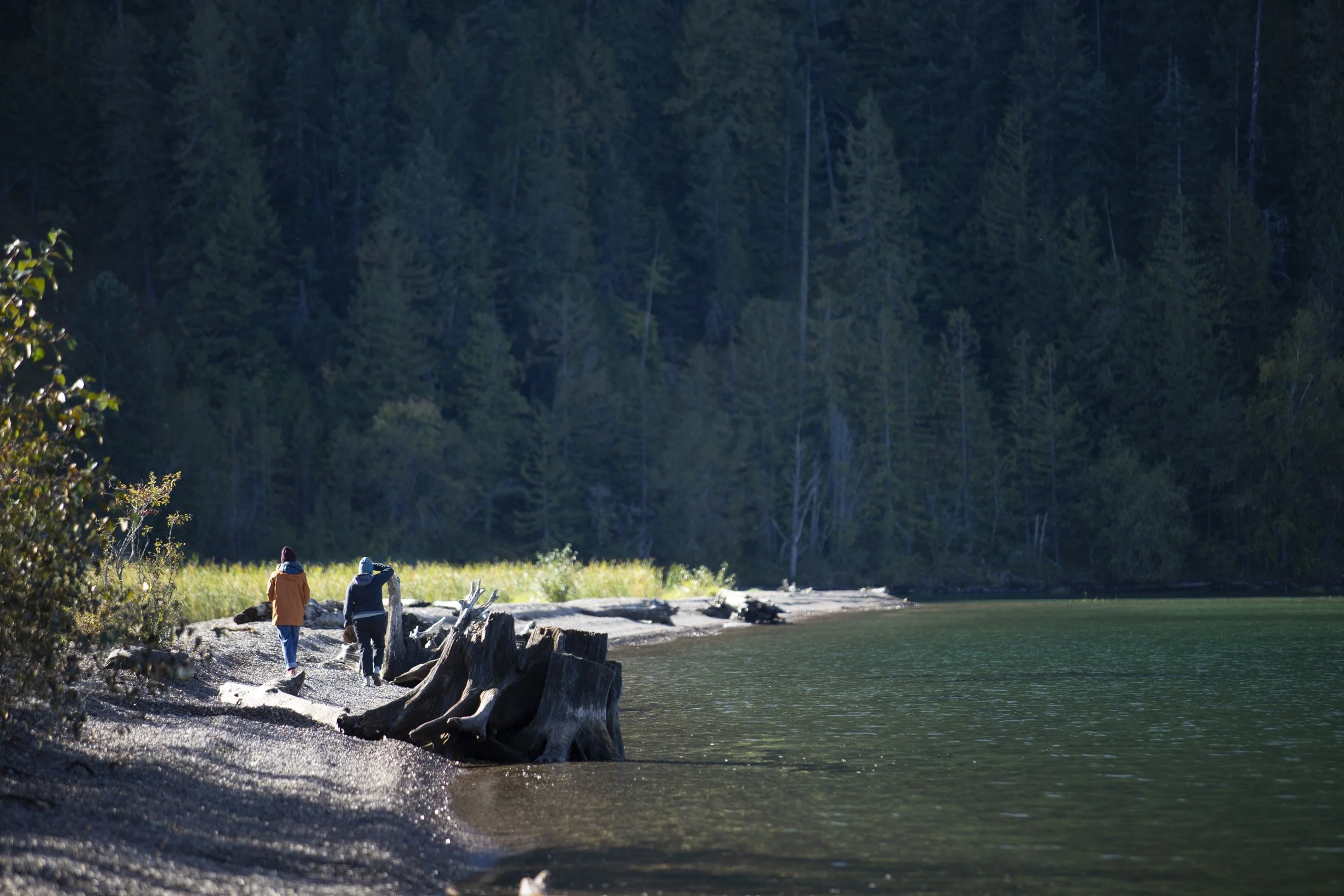
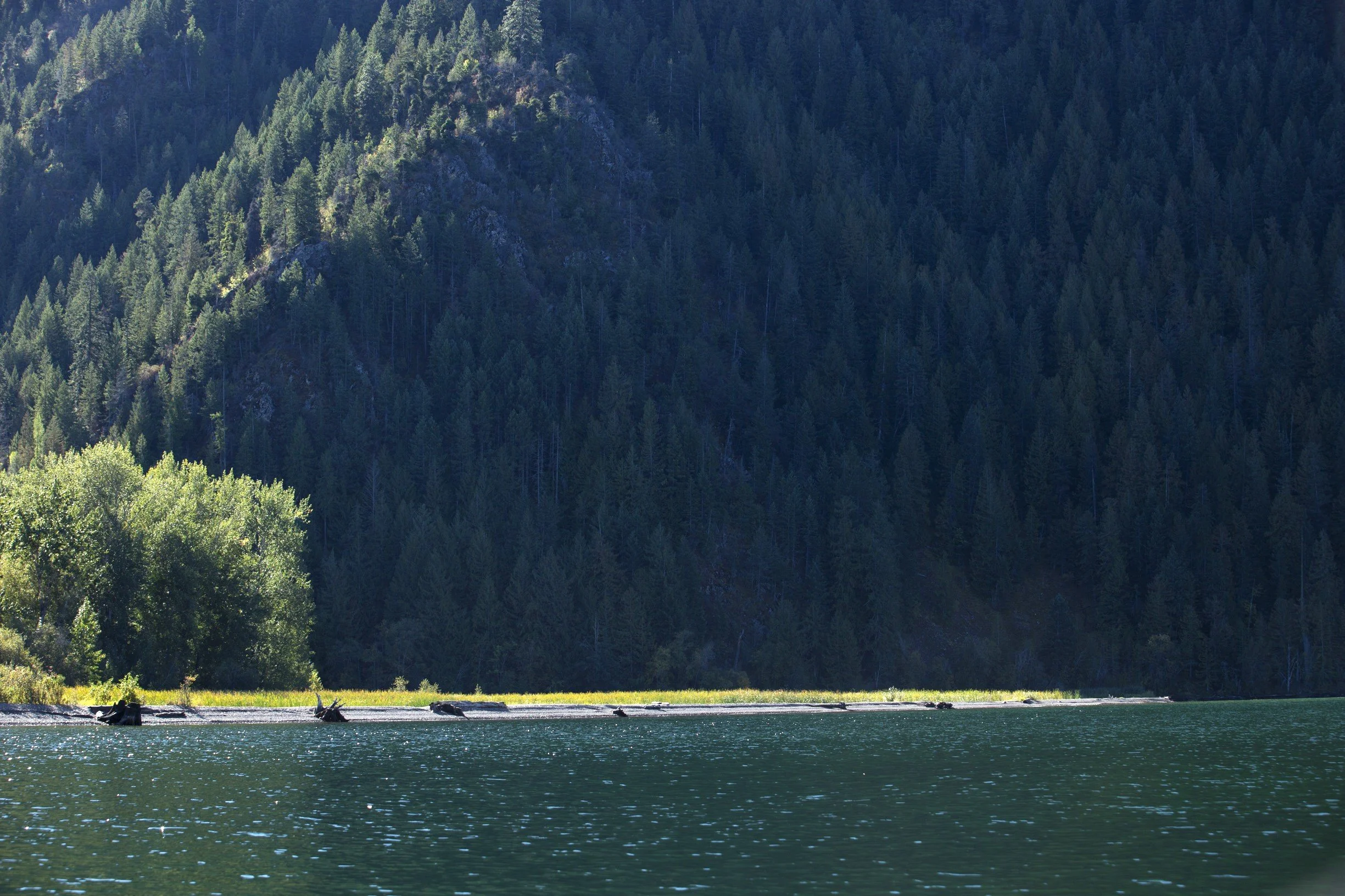
Long rocky shoreline with wetlands on backside. Picnic tables, bathroom, fire ring, parking, boat launch. Camping and overnight parking are plentiful.
History
The origin of the name “Lee’s point” is a mystery. The point was named later than the 1940s, perhaps after a local fisherman. Existing historical maps of Lake Pend Oreille do not show the name “Lee’s Point” anywhere.
The recorded history of the site itself is sparse. In 1929, Edward B. Clark filed what was most likely a “mineral location” claim related to mining on this site. Clark had at least three mining claims east of Clark Fork at the time. This is the only pre-1940 property recording of the current location of Lee’s Point.
The surrounding area, however, has a substantial amount of recorded history relating to the Derr family. Several features in the area were named after the family: Derr Island, Derr Creek, Derr Point and Derr Canyon.
Settlers William and Nellie Derr arrived in the Clark Fork area after 1880 from Michigan, bringing their two sons. William filed a homestead claim of 120 acres in 1897, and purchased another 120 acres in 1907.
Alfred Richard Derr, the oldest son, taught the first class of the first school in Clark Fork. He had returned to Michigan to receive his teaching degree and met his soon-to-be wife, Etta Morley, who was also a teacher. Prior to their marriage, both Alfred and Etta filed for homesteads, and had 320 acres between them by 1908.
John O’Dell Derr, the youngest son, filed a 156 acre homestead on what would afterward be called Derr Island, which sits immediately upstream of Lee’s point. John had fought in the Spanish American War, and in 1895, he was also a steamboat captain. He started the family farm on Derr Island, which was passed down through several generations.

Get directions:
Additional Information
None available.